2025-01-28
How to Conduct a Site Assessment Before Large-Scale Land Clearing
A step-by-step guide to conducting a thorough pre-clearing site assessment for large rural tracts in North Carolina, Virginia, South Carolina, and Georgia.

How to conduct a site assessment before large-scale land clearing begins
A proper pre-clearing site assessment answers four questions in order: what is on the ground, what is under the ground, what water does across the ground, and what rules govern the ground. Skip any one and you pay for it later in stuck equipment, failed inspections, or timber value left in the burn pile. Here is the sequence we walk before a single piece of iron rolls onto a tract in North Carolina, Virginia, South Carolina, or Georgia.
Step 1: Pull the desktop file before you ever walk the property
Before boots hit the dirt, build a paper picture of the tract. Pull the deed, plat, and any recorded easements. Overlay the parcel on USDA Web Soil Survey, FEMA flood maps, NRCS wetland inventory layers, and your state's stream and buffer GIS. Check the county GIS for utility easements, gas transmission lines, and rights-of-way.
Why this matters: half the surprises on a large tract, a Corps-jurisdictional stream you did not know cut the property, a gas easement bisecting your haul route, are visible on public data before you spend a dollar in the field. A one-hour desktop review saves a two-week schedule slip.
Step 2: Walk the tract with a forester, not just a grading contractor
On a large rural site, standing timber is often the most valuable thing you are about to remove. A forester cruises the merchantable volume by species and product class (sawtimber, chip-n-saw, pulpwood) so you know whether you are sitting on a $40,000 clearing bill or a $200,000 timber sale that offsets the clearing entirely. That single number changes the economics of the whole project.
During the same walk, flag hazard trees, cull hardwoods, invasive species pockets (kudzu, tree of heaven, Bradford pear), and any legacy debris (old fence lines, dump piles, abandoned wells). Our forest management team runs this cruise on the same visit as the clearing scope, which is why our numbers on both sides tend to hold.
Step 3: Test the soils and read the drainage
Grab a hand auger and pull cores at representative points, especially in low areas and along proposed haul roads. You are looking for three things: texture (clay vs. sandy loam vs. organic muck), depth to a restrictive layer or water table, and evidence of hydric conditions (gleying, mottling, sulfide smell).
Then walk the tract after a rain if you can. Note where water pools, where it channels, and where it leaves the property. Every ephemeral drain you see wet will become a sediment control decision later. Sandy Coastal Plain sites clear fast and dry quickly; Piedmont clay sites rut deep and need mats, a longer schedule, and a bigger silt fence budget. Price the site you have, not the site you wish you had.
Step 4: Verify the regulatory envelope
For any disturbance over one acre in the Carolinas, you need an approved Erosion and Sediment Control plan before ground breaks. Larger tracts pull in NPDES coverage, and any work touching a blue-line stream, wetland, or 404 water triggers Corps and state review. If the tract is enrolled in Present Use Value, understand how clearing affects the assessment before you cut. Our field notes on erosion and sediment control for large NC sites walk through what inspectors actually look for.
Also confirm burn permits, road bonding requirements for the county, and any local tree ordinances if the tract is near a municipal boundary. Regulations do not stop at the property line and neither should your check.
Step 5: Build the access and staging plan
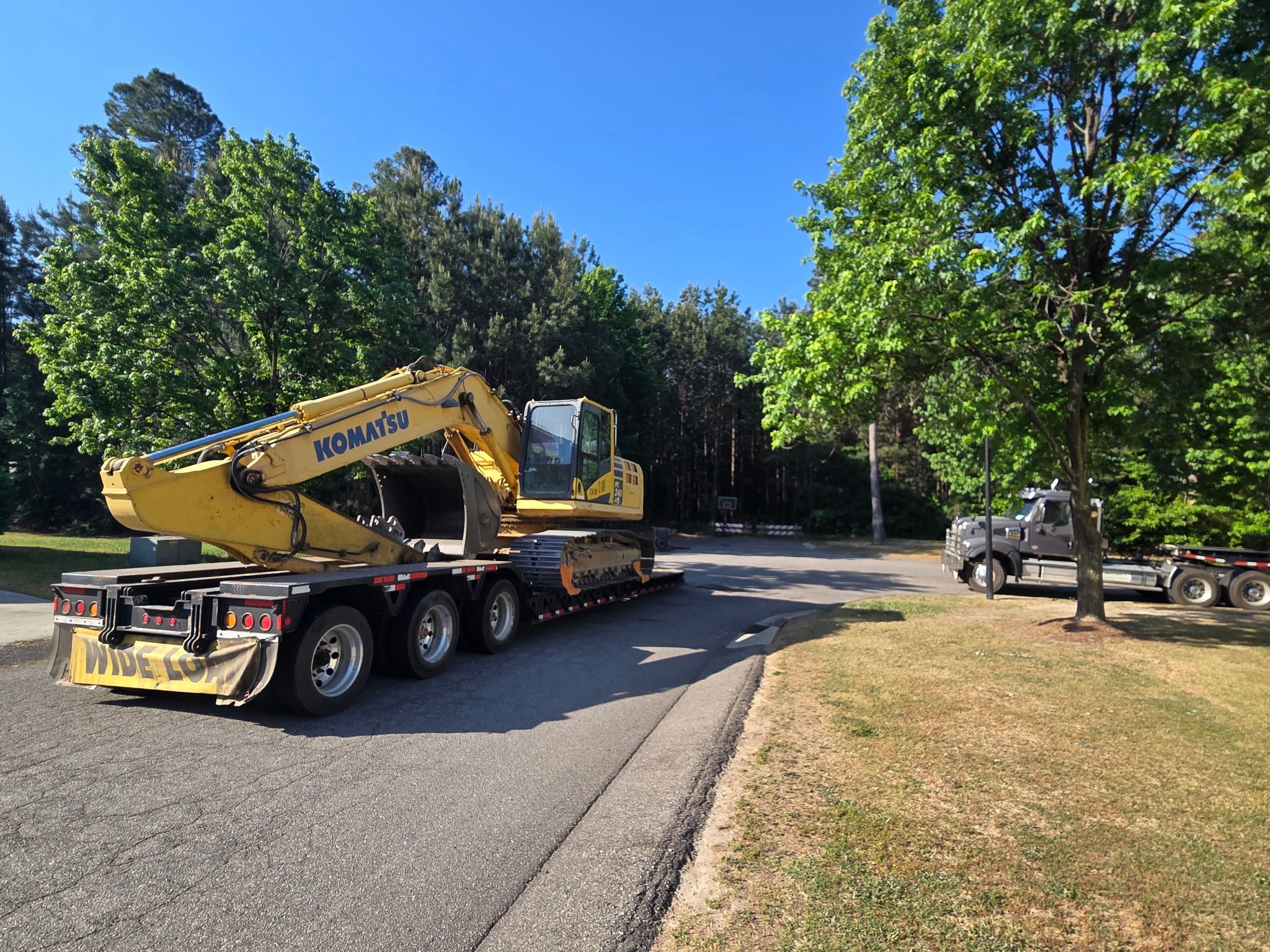
Finally, decide how equipment gets in and product gets out. Where does the low-boy stage? Where does the log deck sit? Which gate can a loaded tri-axle actually clear without swinging into a ditch? On tracts we clear ourselves, we set haul routes during the assessment so heavy hauling does not become an afterthought that costs the schedule a week.
The deliverable
A good site assessment ends with one document: a scope, a schedule, a budget with contingencies tied to the soil and drainage findings, and a permit checklist with owners assigned. If your assessor cannot produce that, they did a site visit, not an assessment.
If you have a tract in the Southeast heading toward clearing, start a conversation with our team. We would rather walk it with you before the schedule is set than fix it after.
How to conduct a site assessment before large-scale land clearing begins
A proper pre-clearing site assessment answers four questions in order: what is on the ground, what is under the ground, what water does across the ground, and what rules govern the ground. Skip any one and you pay for it later in stuck equipment, failed inspections, or timber value left in the burn pile. Here is the sequence we walk before a single piece of iron rolls onto a tract in North Carolina, Virginia, South Carolina, or Georgia.
Step 1: Pull the desktop file before you ever walk the property
Before boots hit the dirt, build a paper picture of the tract. Pull the deed, plat, and any recorded easements. Overlay the parcel on USDA Web Soil Survey, FEMA flood maps, NRCS wetland inventory layers, and your state's stream and buffer GIS. Check the county GIS for utility easements, gas transmission lines, and rights-of-way.
Why this matters: half the surprises on a large tract, a Corps-jurisdictional stream you did not know cut the property, a gas easement bisecting your haul route, are visible on public data before you spend a dollar in the field. A one-hour desktop review saves a two-week schedule slip.
Step 2: Walk the tract with a forester, not just a grading contractor
On a large rural site, standing timber is often the most valuable thing you are about to remove. A forester cruises the merchantable volume by species and product class (sawtimber, chip-n-saw, pulpwood) so you know whether you are sitting on a $40,000 clearing bill or a $200,000 timber sale that offsets the clearing entirely. That single number changes the economics of the whole project.
During the same walk, flag hazard trees, cull hardwoods, invasive species pockets (kudzu, tree of heaven, Bradford pear), and any legacy debris (old fence lines, dump piles, abandoned wells). Our forest management team runs this cruise on the same visit as the clearing scope, which is why our numbers on both sides tend to hold.
Step 3: Test the soils and read the drainage
Grab a hand auger and pull cores at representative points, especially in low areas and along proposed haul roads. You are looking for three things: texture (clay vs. sandy loam vs. organic muck), depth to a restrictive layer or water table, and evidence of hydric conditions (gleying, mottling, sulfide smell).
Then walk the tract after a rain if you can. Note where water pools, where it channels, and where it leaves the property. Every ephemeral drain you see wet will become a sediment control decision later. Sandy Coastal Plain sites clear fast and dry quickly; Piedmont clay sites rut deep and need mats, a longer schedule, and a bigger silt fence budget. Price the site you have, not the site you wish you had.
Step 4: Verify the regulatory envelope
For any disturbance over one acre in the Carolinas, you need an approved Erosion and Sediment Control plan before ground breaks. Larger tracts pull in NPDES coverage, and any work touching a blue-line stream, wetland, or 404 water triggers Corps and state review. If the tract is enrolled in Present Use Value, understand how clearing affects the assessment before you cut. Our field notes on erosion and sediment control for large NC sites walk through what inspectors actually look for.
Also confirm burn permits, road bonding requirements for the county, and any local tree ordinances if the tract is near a municipal boundary. Regulations do not stop at the property line and neither should your check.
Step 5: Build the access and staging plan
Finally, decide how equipment gets in and product gets out. Where does the low-boy stage? Where does the log deck sit? Which gate can a loaded tri-axle actually clear without swinging into a ditch? On tracts we clear ourselves, we set haul routes during the assessment so heavy hauling does not become an afterthought that costs the schedule a week.
The deliverable
A good site assessment ends with one document: a scope, a schedule, a budget with contingencies tied to the soil and drainage findings, and a permit checklist with owners assigned. If your assessor cannot produce that, they did a site visit, not an assessment.
If you have a tract in the Southeast heading toward clearing, start a conversation with our team. We would rather walk it with you before the schedule is set than fix it after.